
Why is there a thunderstorm on a sunny summer day?
Autumn and winter can also be nice. But I am already dreaming of summer again… When thinking about the past summer, I remember that some days were sunny all day while on other days we had thunderstorms with strong rainfall, lightning and sometimes hail.
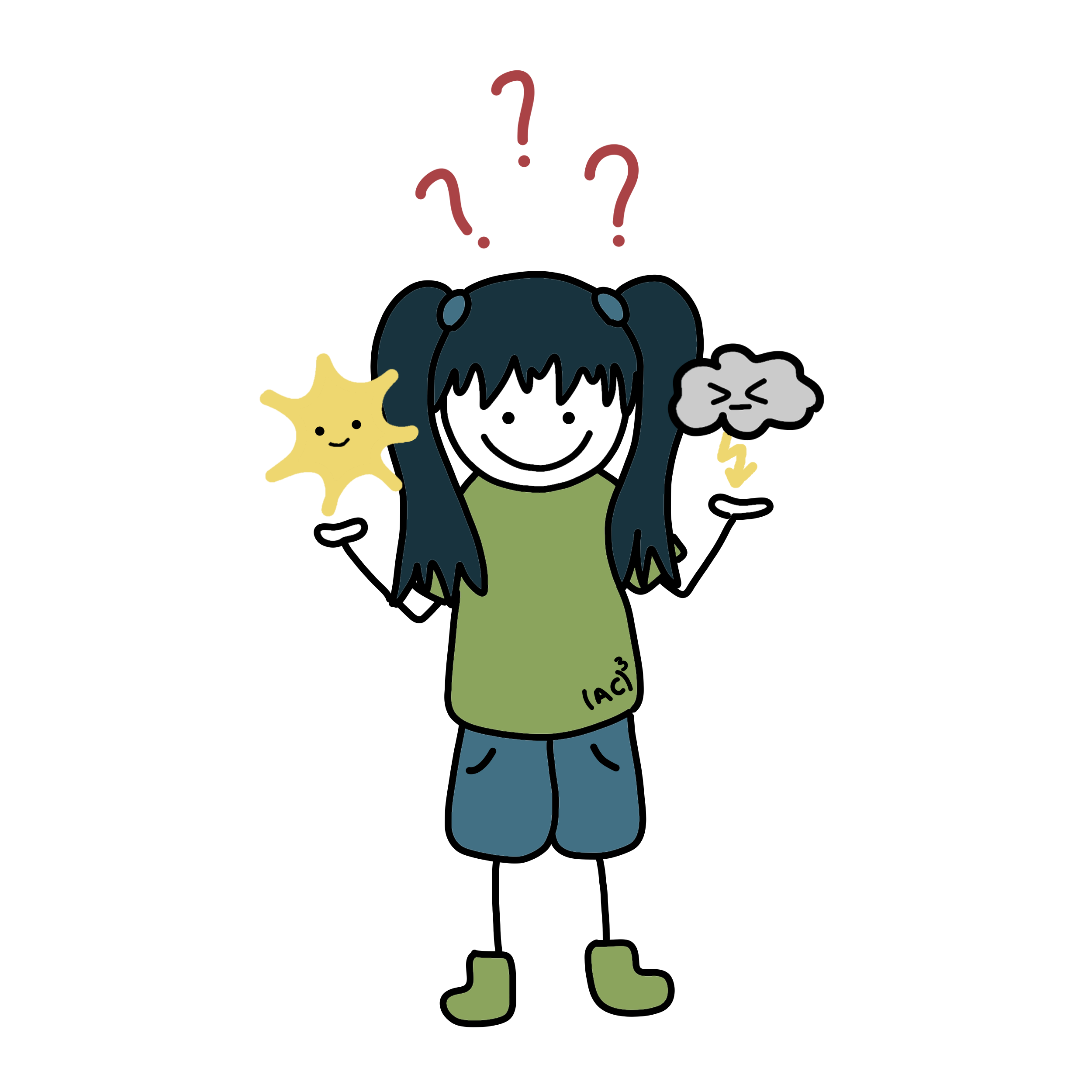
I was wondering, why is there a thunderstorm on a day that started with beautiful sunshine? Where do the clouds come from and why does it only happen on some days?
Today, I met Andreas from (AC)3 who really likes watching thunderstorms. I asked him whether he could help me understand them. He explained to me how thunderstorms form.
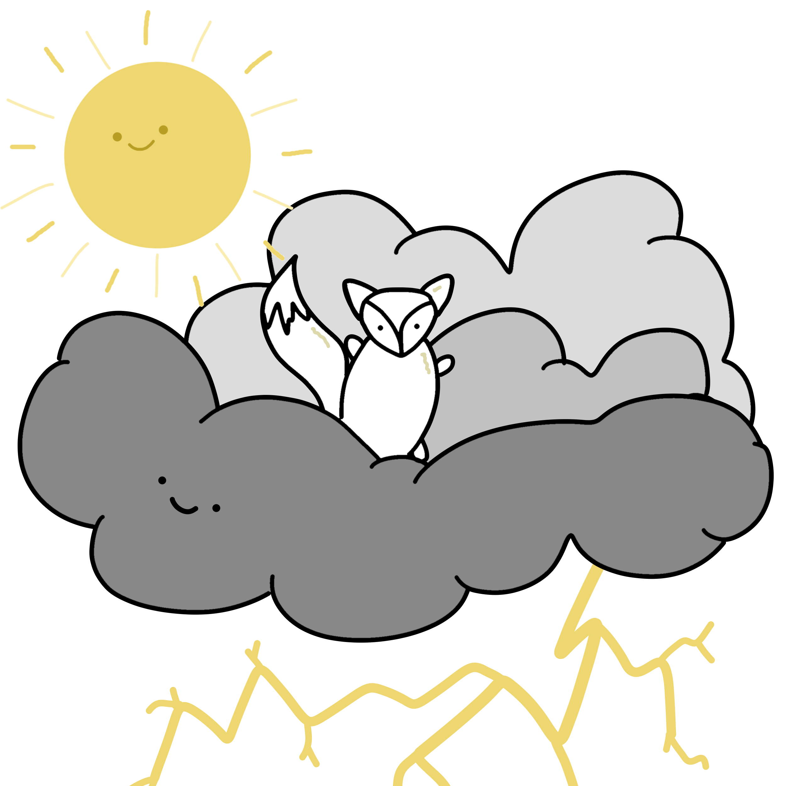
As you can hear and see for yourself, thunderstorms are some powerful weather phenomena. They can also be scary. They need a lot of energy to become as powerful as they are. That energy can be provided in different forms. We basically need three ingredients to bake a thunderstorm:
- Heat or, simply, high temperatures for energy supply. We do have a lot of that in summer and not so much in the other seasons.
- Humidity, which is water floating in the atmosphere as vapour. The raining and hailing thunderstorm cloud wants to be fed with humidity.
- Something to trigger the thunderstorm.
The trigger mechanism is a tricky part. One possible trigger is buoyancy: Warmer air is lighter than colder air and therefore rises. This is a principle I can observe when looking at a bonfire. The warm air is lifted above the fire instead of spreading out at the ground. On a sunny summer day, the air at the surface is heated more in some places and less in other places. The warmer air can then arise to higher parts of the atmosphere because it is lighter than the colder air around it. While being lifted, this warmer air also cools down. But that is okay because the surrounding air at high altitudes is usually also colder than near the surface. It is important that the ascending air is still warmer than the surroundings. Only then can it continue to lift.
While the air rises and cools down, clouds form. When the lifted air reaches high altitudes – for example, more than 8 km – a deep cloud has formed. This cloud will soon start to rain and produce lightning.
There are also other triggers that can help the air to lift. For example, there could be a cold front from a low pressure system passing through. There could be air streams coming from different directions that meet each other. Then, the air can only go up because it cannot go down into the ground. The air can also be lifted when streaming from plains to mountains. Another example is that the sides of mountains facing the sun get heated up more than the valley. This can also lead to strong lifting motions in the air, so called updrafts.
All of these other trigger mechanisms help to develop a thunderstorm. It is important that the rising air is warmer and therefore lighter than the surrounding air. On some summer days, we maybe did not have enough humidity or were missing a trigger mechanism. Or the surrounding air in the upper parts happened to be warmer than the air lifted from the surface. Then, no thunderstorm could form.
On a day that starts sunny and small clouds form before noon, you have a high chance for thunderstorms later that day. The clouds that formed in the morning are usually a good indicator that there might be enough heat, moisture and some sort of trigger. Finally, if a thunderstorm is near, I also like watching it. But because it is too dangerous outside, I go inside and watch it from there.
Lass dir den Beitrag vorlesen
Text: Andreas Walbröl, Illustration: Patrizia Schoch